€ 67,61
Op voorraad14 werkdagen
Gratis verzending30 dagen bedenktijd
1
Gratis verzending
vanaf €20
30 dagen retour
zonder gedoe
Veilig betalen via iDEAL of Klarna
iDEAL · Klarna

Beschrijving
This 1980 book shows the positions of the major continental areas during the past 560 million years as four series of computer-drawn maps, which provide a framework on which a wide variety of data may be plotted. Cylindrical equidistant and Lambert equal-area polar projections are used, with a thirty-degree latitude-longitude grid.
Gratis verzending
vanaf €20
30 dagen retour
zonder gedoe
Veilig betalen via iDEAL of Klarna
iDEAL · Klarna
Populaire zoekopdrachten
Snel naar
Trending now
How to Build a Car: The Autobiography of the World’s Greatest Formula 1 Designer
Newey, Adrian

The Science of Animals: Inside their Secret World
DK || Chris Packham
The Rolling Stones All the Songs Expanded Edition: The Story Behind Every Track
Jean-Michel Guesdon || Philippe Margotin

Ride: Cycle the World
DK Travel
Aanbevolen

M. Garand
€ 20,70
Danièle Bott
€ 32,40

Hachisu, Nancy Singleton
€ 40,50
Jean-Michel Guesdon || Philippe Margotin
€ 40,50
Collins Maps
€ 34,20
DK Travel
€ 20,70

DK || Chris Packham
€ 28,80
Sarah J. Maas
€ 18,00
Newey, Adrian
€ 32,88
DK || Chris Packham
€ 33,10
Serie & gerelateerd
Oliver Gray
Cambridge IGCSE™ French Workbook (Collins Cambridge IGCSE™)
€ 24,12

Sherwood, Robert
Cambridge Springs 1904
€ 44,17

Glover, Terrot Reaveley
Cambridge Retrospect (Cambridge Library Collection - Cambridge)
€ 43,59
Cambridge, Cambridge
Patriot's day Celebration at Cambridge, Mass., April 19th, 1921. Also an Address on the True American Flag the Cambridge Flag
€ 26,71
Cambridge, Cambridge
The Register Book of the Lands and Houses in the "New Towne" and the Town of Cambridge With the Records of the Proprietors of the Common Lands: Being ... Generally Called "The Proprietors' Records"
€ 61,69
Cambridge, Cambridge
Exercises in Celebrating the two Hundred and Fiftieth Anniversary of the Settlement of Cambridge, Held December 28, 1880
€ 33,70
Cambridge, Cambridge
Exercises in Celebrating the two Hundred and Fiftieth Anniversary of the Settlement of Cambridge, Held December 28, 1880
€ 51,89

Cambridge, Cambridge
Patriot's day Celebration at Cambridge, Mass., April 19th, 1921. Also an Address on the True American Flag the Cambridge Flag
€ 44,90
Cambridge, Cambridge
The Records of the Town of Cambridge (formerly Newtowne) Massachusetts. 1630-1703
€ 61,93
Cambridge, Cambridge
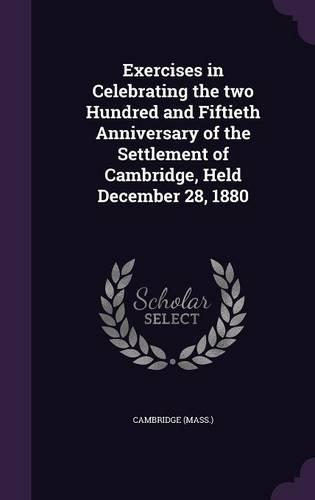
Exercises in Celebrating the two Hundred and Fiftieth Anniversary of the Settlement of Cambridge, Held December 28, 1880
€ 51,97