Populaire zoekopdrachten
Snel naar
Trending now
Spiral bound
Momenteel uitverkocht
Gratis verzending
vanaf €20
30 dagen retour
zonder gedoe
Veilig betalen via iDEAL of Klarna
iDEAL · Klarna
Aanbevolen
Kentaro Miura
€ 44,10
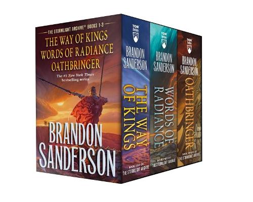
Brandon Sanderson
€ 34,20
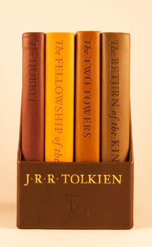
J R R Tolkien
€ 160,20
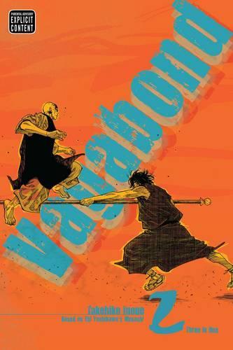
Takehiko Inoue
€ 22,50
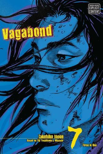
Takehiko Inoue
€ 21,60
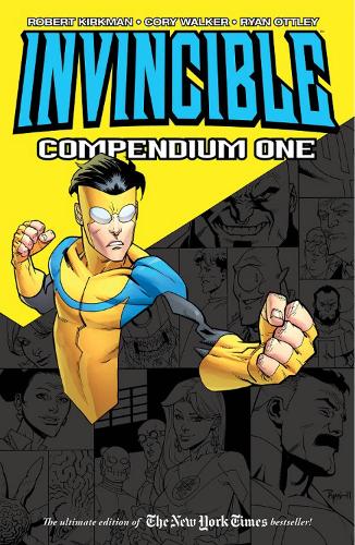
Robert Kirkman || Cory Walker || Ryan Ottley
€ 57,60
J. R. R. Tolkien
€ 49,50
Brandon Sanderson
€ 29,70
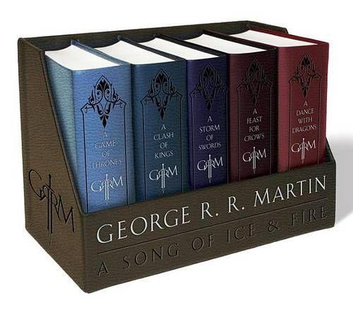
George R. R. Martin
€ 59,40
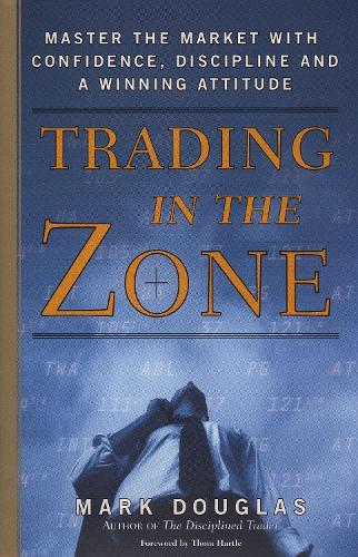
Mark Douglas
€ 46,80
Serie & gerelateerd

Cahal Dallat || etc.
Ordnance Survey and the Local Historian
€ 0,00

Great Britain: National Audit Office
Report by the Comptroller and Auditor General: Ministry of Defence, sale of Royal Ordnance plc
€ 0,00

Great Britain: National Audit Office
Ministry of Defence: further examination of the sale of the Royal Ordnance plc
€ 0,00
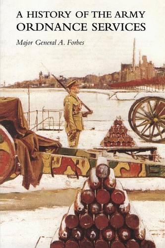
Major General a Forbes
A HISTORY OF THE ARMY ORDNANCE SERVICESThe Great War
€ 40,58

Jonathan Davies
A summary and Commentary on William Bourne's The Art of Shooting in Great Ordnance: An Elizabethan Artillery Manual
€ 0,00

Great Britain
The Royal Ordnance Factories trading fund (revocation and repeal) order 1985
€ 0,00

Great Britain
The Royal Ordnance factories (extinguishment of public dividend capital) order 1984
€ 0,00
An Artilleryman
A Popular Introduction to Rifled Ordnance: For the Use of Learners of the Art of Gunnery (1871)
€ 0,00
![Ordnance Survey Annual Report and Accounts 1993/94: [Hc]: [1993-94]: House of Commons Papers: [1993-94]](https://myboeken-images.s3.eu-central-1.amazonaws.com/9780102455946.jpg)
David Rhind || Great Britain
Ordnance Survey Annual Report and Accounts 1993/94: [Hc]: [1993-94]: House of Commons Papers: [1993-94]
€ 0,00
Clements R Markham
Lives of Sir Francis Vere, general of the queen's forces in the Low countries, governor of the Brill and of Portsmouth, and of Sir Horace Vere, general of the English forces in the Low countries, governor of the Brill, master-general of ordnance, and Baro
€ 48,10