Beschrijving
Map of the Inland Waterways of France Scale: 1:1 500 000 David Edwards-May
First published in the 1950s under the editorship of EE Benest and later Konrad Nussbaum, the Imray map of the French inland waterway system has always been regarded as the essential reference for planning a visit to France by boat. It is now superseded by this completely recompiled and redrawn edition by David Edwards-May, the leading authority on World canals and waterways. The new cartography includes improved detail and presents essential information concerning distances and dimensions with a greater clarity than on previous editions. The map continues to cover the Low Countries and the western part of Germany and now also includes large scale insets of the Paris region and northeast France. The scale remains at 1:1 500 000
Populaire zoekopdrachten
Snel naar
Trending now

How to Build a Car: The Autobiography of the World’s Greatest Formula 1 Designer
Newey, Adrian

The Science of Animals: Inside their Secret World
DK || Chris Packham

The Rolling Stones All the Songs Expanded Edition: The Story Behind Every Track
Jean-Michel Guesdon || Philippe Margotin

Ride: Cycle the World
DK Travel
Aanbevolen

M. Garand
€ 20,70

Danièle Bott
€ 32,40

Hachisu, Nancy Singleton
€ 40,50
Jean-Michel Guesdon || Philippe Margotin
€ 40,50
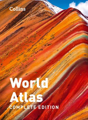
Collins Maps
€ 34,20

Jacques Cavallier-Belletrud || Lionel Paillès || Aurore de la Morinerie
€ 141,30
DK Travel
€ 20,70

DK || Chris Packham
€ 28,80

Sarah J. Maas
€ 18,00
Newey, Adrian
€ 32,88
Serie & gerelateerd

DK
History of the World Map by Map
€ 27,00

DK
History of North America Map by Map
€ 32,40
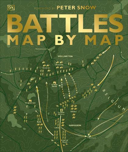
DK || Peter Snow
Battles Map by Map
€ 27,90
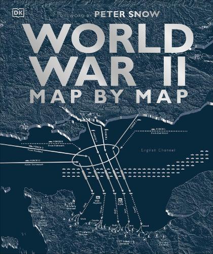
DK || Peter Snow || Richard Overy
World War II Map by Map
€ 27,00

The Genuine Company Limited
World children's map wall map laminated
€ 23,37
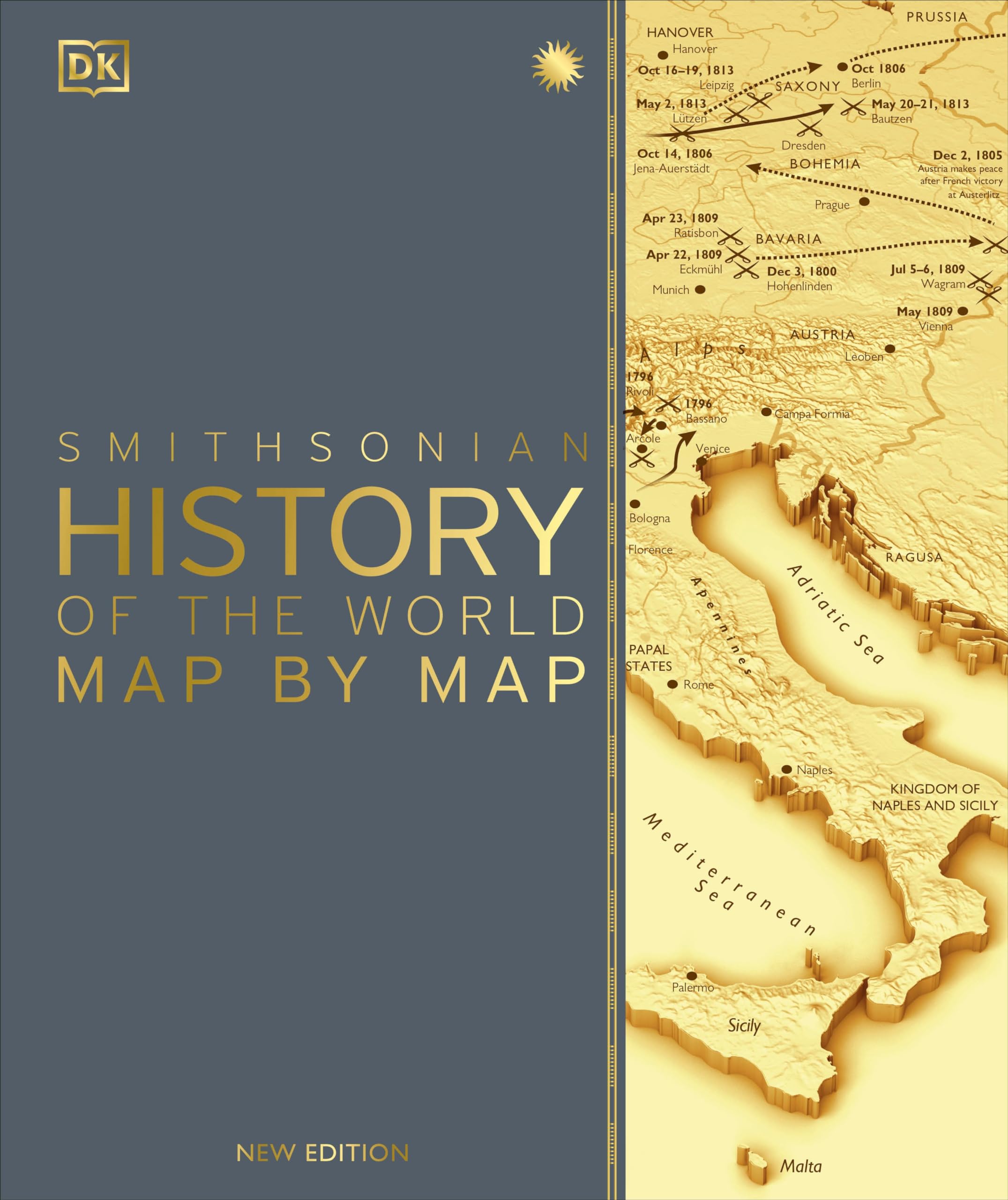
DK
History of the World Map by Map
€ 45,89
Map Studio
Pocket tourist map: Johannesburg
€ 18,00
Map Studio Map Studio
Table Mountain & Cape Peninsula road map
€ 18,43
Map Studio, Map Studio
Garden Route & Route 62, Road Map
€ 18,68
Map Studio
African road maps Africa Central & South: Including Madagascar & Indian Ocean Islands
€ 21,81