Beschrijving
DESCRIPTION
Geospatial data is hard to ignore. Nearly every car, phone, or camera has a GPS sensor, and aerial photos, satellite imagery, and data representing political boundaries, roads, rivers, and streams are available for free download from many websites. Geoprocessing is the science of reading, analyzing, and presenting geospatial data programmatically. The Python language, along with dozens of open source libraries and tools, makes it possible to take on professional geoprocessing tasks without investing in expensive proprietary packages like ArcGIS and MapInfo.
Geoprocessing with Python teaches how to use the Python programming language along with free and open source tools to read, write, and process geospatial data. It shows how to access available data sets to make maps or perform analyses using free and open source tools like the GDAL, Shapely, and Fiona Python modules. Readers will master core practices like handling multiple vector file formats, editing and manipulating geometries, applying spatial and attribute filters, working with projections, and performing basic analyses on vector data. They’ll also learn how to create geospatial data, rather than just consuming it. The book also covers how to manipulate and analyze raster data, such as aerial photographs, satellite images, and digital elevation models.
KEY SELLING POINTS
Geoprocessing from the ground up
Shows how to create custom geoprocessing tools
Takes advantage of free and open source tools
AUDIENCE
Readers need a basic knowledge of Python or a similar programming language. No previous experience with geoprocessing or geospatial data required. Perfect for readers who have used Python with Esri ArcGIS and want to apply their Python skills elsewhere.
ABOUT THE TECHNOLOGY
Geoprocessing is the science of reading, analyzing, and presenting geospatial data programmatically. The Python language, along with dozens of open source libraries and tools, makes it possible to take on professional geoprocessing tasks without investing in expensive proprietary packages like ArcGIS and MapInfo.
Serie & gerelateerd
Augusto, Odair Katsutomo
Use of geoprocessing tools: To analyze the spatial distribution of drinking water quality in the distribution network
€ 53,08

Ribeiro, Raiza
Morphometric analysis using geoprocessing techniques: Sub-basin of the Rio Branco - RO
€ 58,89
Augusto, Odair Katsutomo
Utilizzo di strumenti di geoprocessing: Analizzare la distribuzione spaziale della qualità dell'acqua potabile nella rete di distribuzione
€ 61,76
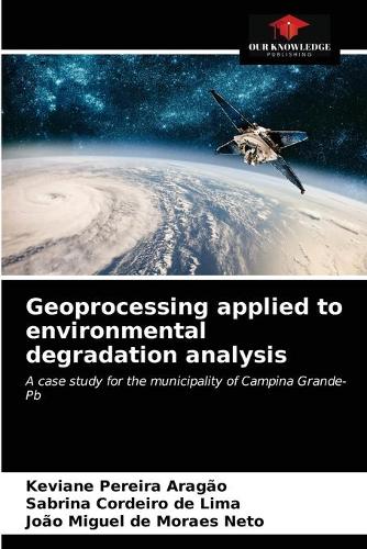
Aragão, Keviane Pereira
Geoprocessing applied to environmental degradation analysis: A case study for the municipality of Campina Grande-Pb
€ 56,75
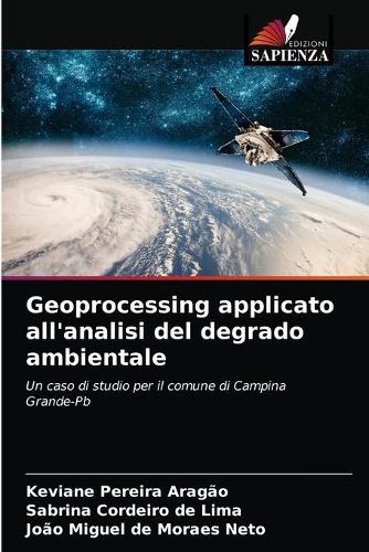
Aragão, Keviane Pereira
Geoprocessing applicato all'analisi del degrado ambientale: Un caso di studio per il comune di Campina Grande-Pb
€ 67,48

Raiza Ribeiro || Wagner Walker de Albuquerque Alves
Analisi morfometrica con tecniche di geoprocessing
€ 65,95

Barros da Silva, Valsergio
Geoprocessing in urban management and planning: L'uso del geoprocessing come strumento per migliorare la pianificazione municipale
€ 65,95

Barros da Silva, Valsergio
Geoprocessing in urban management and planning: The use of geoprocessing as a tool to improve municipal planning
€ 48,58
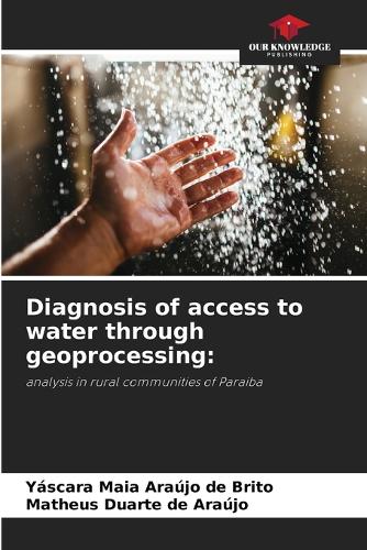
Brito, Yáscara Maia Araújo de
Diagnosis of access to water through geoprocessing:: analysis in rural communities of Paraiba
€ 63,25
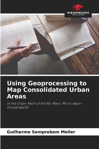
Semprebom Meller, Guilherme
Using Geoprocessing to Map Consolidated Urban Areas: In the Urban Mesh of the Rio Maior Micro-Basin - Urussanga/SC
€ 44,34
Populaire zoekopdrachten
Snel naar
Trending now

How to Build a Car: The Autobiography of the World’s Greatest Formula 1 Designer
Newey, Adrian

The Science of Animals: Inside their Secret World
DK || Chris Packham

The Rolling Stones All the Songs Expanded Edition: The Story Behind Every Track
Jean-Michel Guesdon || Philippe Margotin

Ride: Cycle the World
DK Travel
Aanbevolen

Hachisu, Nancy Singleton
€ 40,50