Beschrijving
Fully updated world map to include the latest political changes. The map contains politically coloured mapping which shows each country and their capital city, major roads, and cities and towns clearly. Also included are national flags, key statistics for every country and inset maps of the polar regions.
The map is printed on high quality paper and comes rolled in a fully recyclable cardboard box – ideal as a poster for any classroom, bedroom or office wall.
Area of coverage:
All of the world, centred on the Greenwich Meridian, and including maps of the North and South Pole regions.
Scale:
1:30 000 000; 1 cm to 300 km; 1 inch to 480 miles
Size:
700 x 915 mm (27.5 x 36 inches)
Other versions available:
Paper flat map (ISBN 978-0-00-849255-7)
Aanbevolen

M. Garand
€ 20,70

Danièle Bott
€ 32,40

Hachisu, Nancy Singleton
€ 40,50

Jean-Michel Guesdon || Philippe Margotin
€ 40,50

Collins Maps
€ 34,20

Jacques Cavallier-Belletrud || Lionel Paillès || Aurore de la Morinerie
€ 141,30

DK Travel
€ 20,70

DK || Chris Packham
€ 28,80

Sarah J. Maas
€ 18,00

Newey, Adrian
€ 32,88
Populaire zoekopdrachten
Snel naar
Trending now
How to Build a Car: The Autobiography of the World’s Greatest Formula 1 Designer
Newey, Adrian

The Science of Animals: Inside their Secret World
DK || Chris Packham
The Rolling Stones All the Songs Expanded Edition: The Story Behind Every Track
Jean-Michel Guesdon || Philippe Margotin
Ride: Cycle the World
DK Travel
Serie & gerelateerd
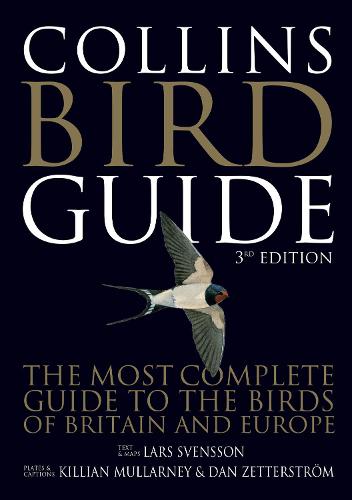
Svensson, Lars
Collins Bird Guide: An essential field guide for birdwatchers of all skill levels
€ 28,80

Petra Collins
Petra Collins: STAR
€ 38,28
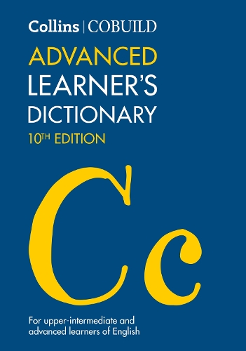
Collins ELT || Collins COBUILD
Collins COBUILD Advanced Learner’s Dictionary (Collins COBUILD Dictionaries for Learners)
€ 37,11

Collins CoBUILD
Collins COBUILD Intermediate Learner’s Dictionary (Collins COBUILD Dictionaries for Learners)
€ 30,16

Tim Pat Coogan
Michael Collins: A Biography
€ 18,00

Albert Jackson || David Day
Collins Complete Woodworker’s Manual
€ 37,11
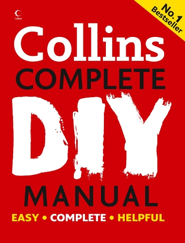
Jackson, Albert
Collins Complete DIY Manual: An essential tool for novices, DIY enthusiasts and professionals, covering decorating, electricity, plumbing and more
€ 37,11

Anderson, Lindsay
Collins
€ 20,31

Garrod, H W
Collins
€ 39,03

Garrod, H W
Collins
€ 24,58